Shan Gao
From data pipelines to muddy boots in the field
Bio
I am a GIS and Remote Sensing analyst with experience in UAV flight operations, geospatial data analysis, and field-based environmental work. I completed my college education in the United States and currently work in Indonesia on peatland, forest, and climate-related projects.
My work covers the full UAV workflow, including flight planning, data collection, processing, analysis, data management, and QA/QC. I also have strong field experience, including peatland surveys and supporting biodiversity and animal surveys in challenging tropical environments.
In addition to technical work, I am involved in community development activities, such as designing and implementing community surveys and organizing group meetings. My background allows me to connect geospatial data, field realities, and community engagement to support practical and reliable project outcomes.
Toolkit
Programming Language
Software & Platform
Equipment
A selection of my favorite projects. Check out my code on GitHub.
GEE-RandomForest-PythonAPI
A Random Forest classification used GEE Python API to classify mangrove.
Some-Arcpy-Code
To batch processing vector/raster data, I used Arcpy in the early stage to process data
VM0003 IFM Dataflow Mockup (Under-development)
Mock data project for Verra Improved Forest Management Methodology
ODM Multi-Dataset Processing (16G RAM Limitation)
DJI Terra and Pix4D price are insane (Under development)
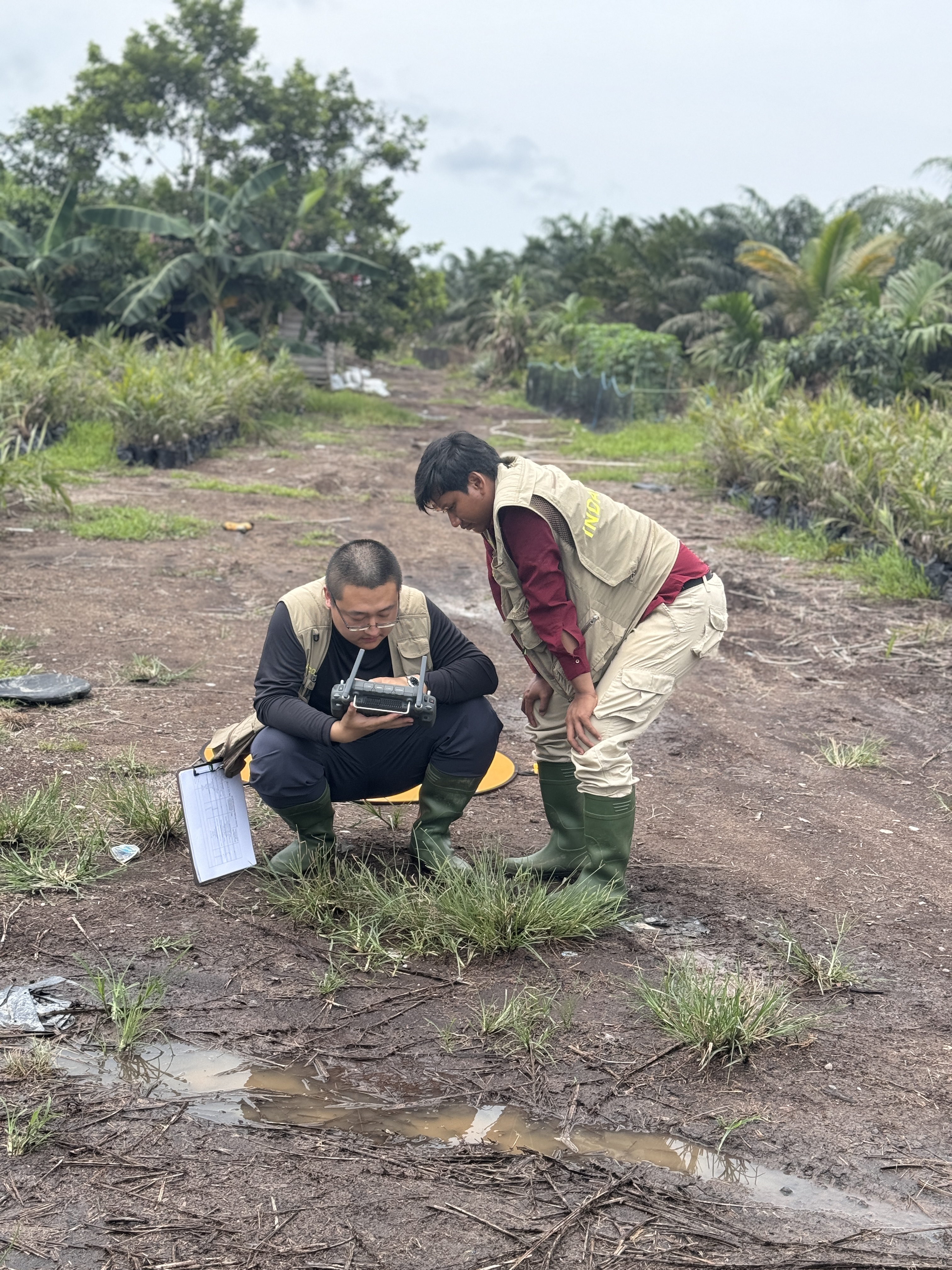
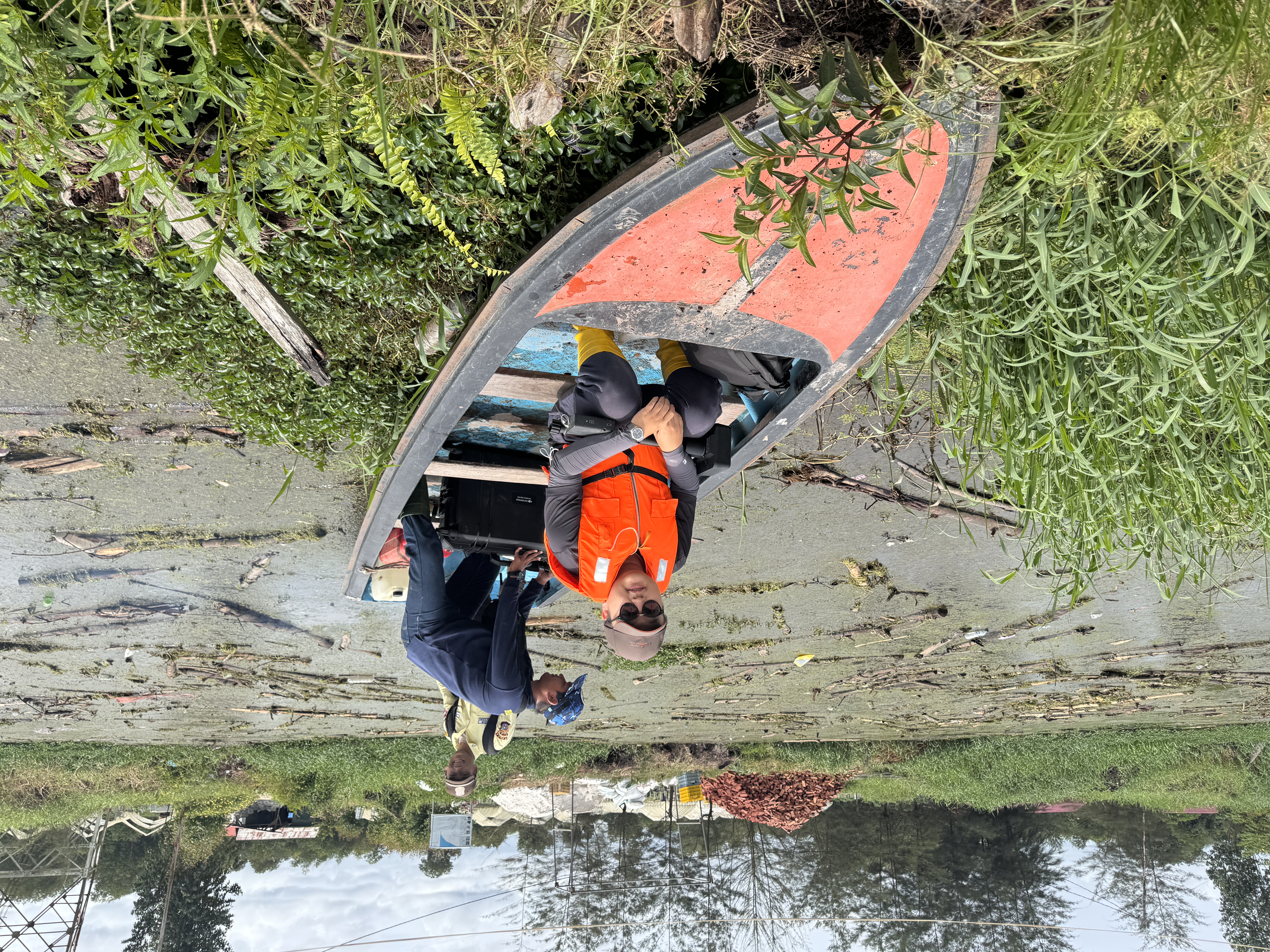
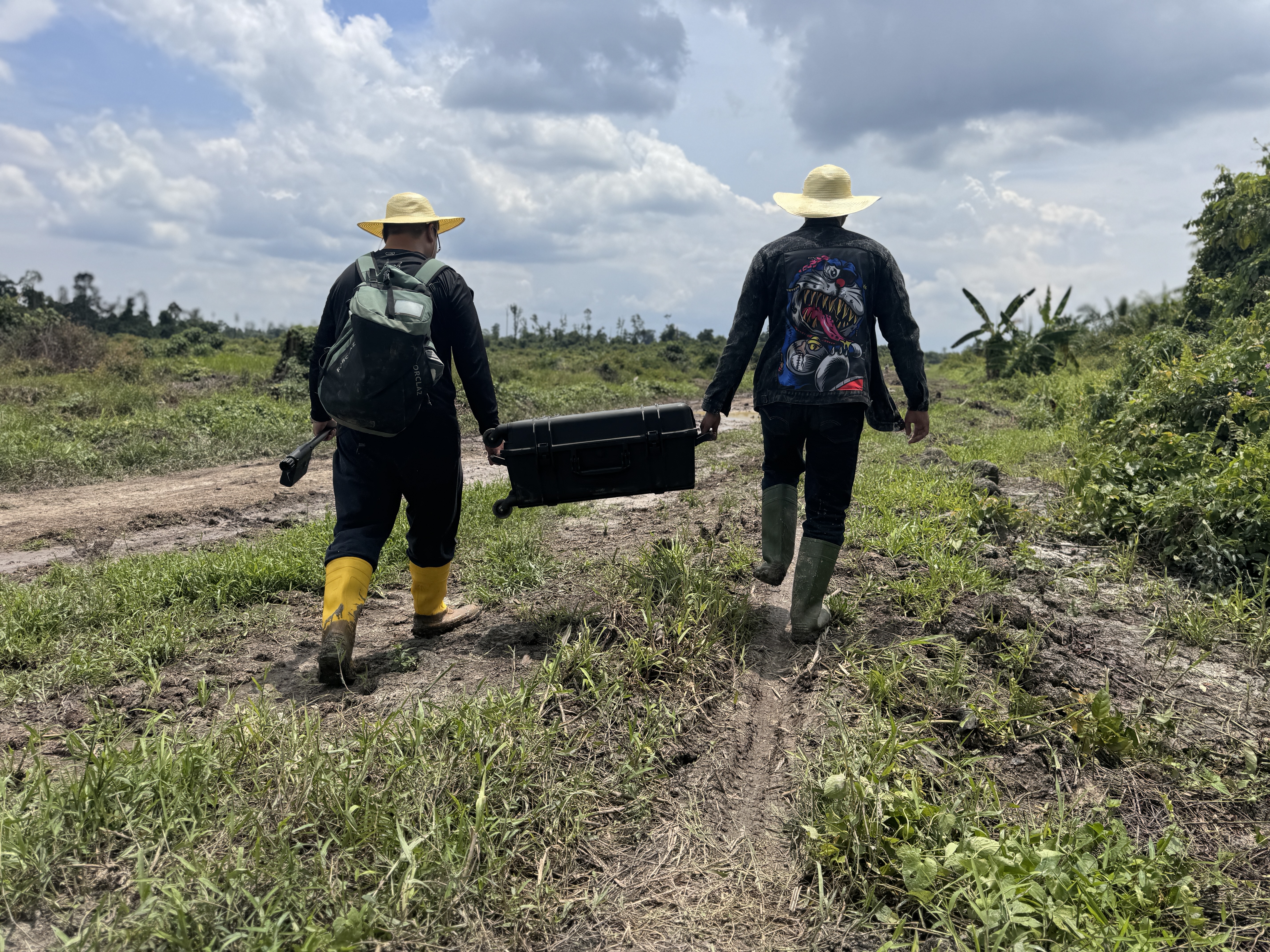
Some of my photo